
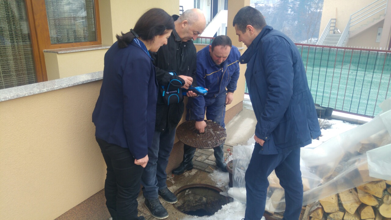
One of the key activities within the project “Improvement of Water Resources Management in Gjakova and Bijelo Polje” started on 9th January 2017 and will last until the end of the project implementation, i.e. until 31st May 2017.
The project management team on its regular coordination meetings very often discussed about this important activity and elaborated potential strategies which will lead to successful implementation of the project and attainment of the specific objective indicators, i.e. 40% covered by water supplying systems are recorded and entered into geographic information system (GIS) and 100% of illegal connections are registered in 40% of recorded areas covered by services.
In order to succeed with the attaining of above mentioned indicators we have identified geographic area to be covered by GIS and strategy to be applied for this activity.
Area to be covered by GIS within the project consists of following settlements: Nikoljac, Pripčići, Ribnik, Loznice, Gornje Loznice, Resnik, Francuska mahala, Rasovo, Rasadnik (Rasovo), Strojtanica, Njegnjevo, Oluje, Gubavač, Voljavac, Konatari (Unevina), Sutivan, Potkrajci, Kisjele vode i Nedakusi
Having in mind that in the total area where Vodovod “Bistrica” Bijelo Polje provide water supplying have in total 7,845 customers (802 businesses and 7,043 households), in accordance with official records in the selected area to be covered by GIS has in total 3,150 customers (117 businesses and 3,033 households).
We inform our customers in abovementioned settlements that our teams of professional will visit them in order to identify all connections, both legal and illegal, and precisely record water supplying systems of primary and secondary networks.
